Archaeological site
Lothal
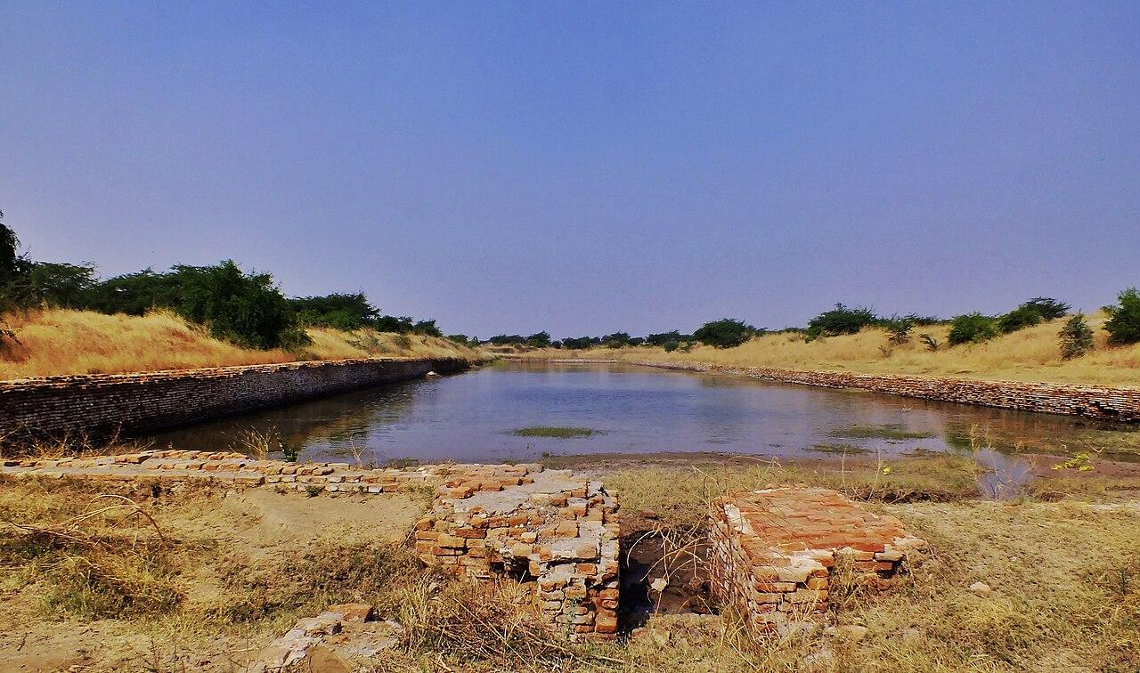
A small Harappan town near the Gulf of Khambhat with a bead-making quarter and a large brick basin interpreted by its excavator as a dockyard.
The Map Check
Location and neighbouring sites
From the Trenches
Excavation history
1955–1960
S. R. Rao
Archaeological Survey of India
Important findings
- Brick-lined basin (c. 220 m long) beside a warehouse platform
- Carnelian and shell bead workshops
- A Persian Gulf-type seal
What We Still Don't Know
Dockyard or reservoir?
DebatedUnresolved questions and competing interpretations
S. R. Rao interpreted the basin as a tidal dock connected to an old river channel. Other scholars have argued it functioned as a water reservoir or irrigation tank. Both interpretations remain in the literature.
SourcesRao 1979; Possehl 2002
Connected to Lothal
Connected to this site
Indus Valley Civilisation
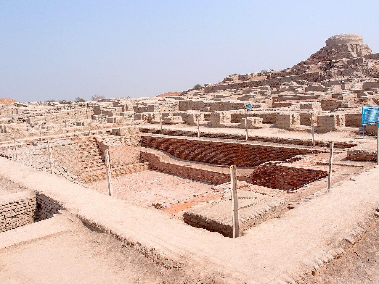
A Bronze Age urban tradition spanning more than a million square kilometres, known for planned cities, standardised weights, craft specialisation and an undeciphered script.
Harappan–Gulf maritime contact
Sea contact between the Indus region, the Gulf (Dilmun, Magan) and Mesopotamia, documented by Indus seals and beads found abroad and by Mesopotamian references to Meluhha.
The Water Engineers of the Indus
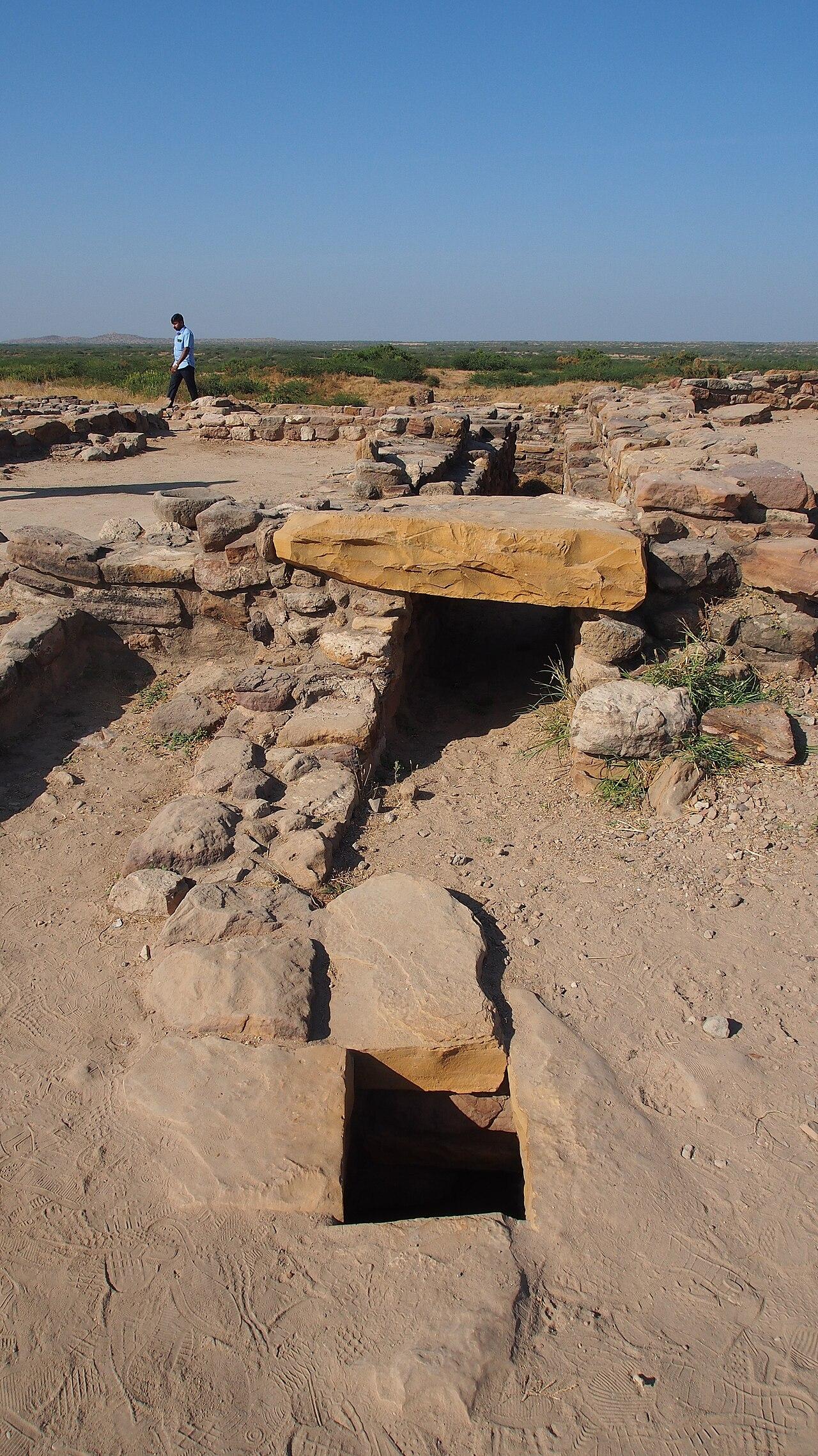
Drains, wells and reservoirs at Mohenjo-daro and Dholavira, and what they reveal about Indus urban life.
The Great Trade Networks of the Indian Ocean
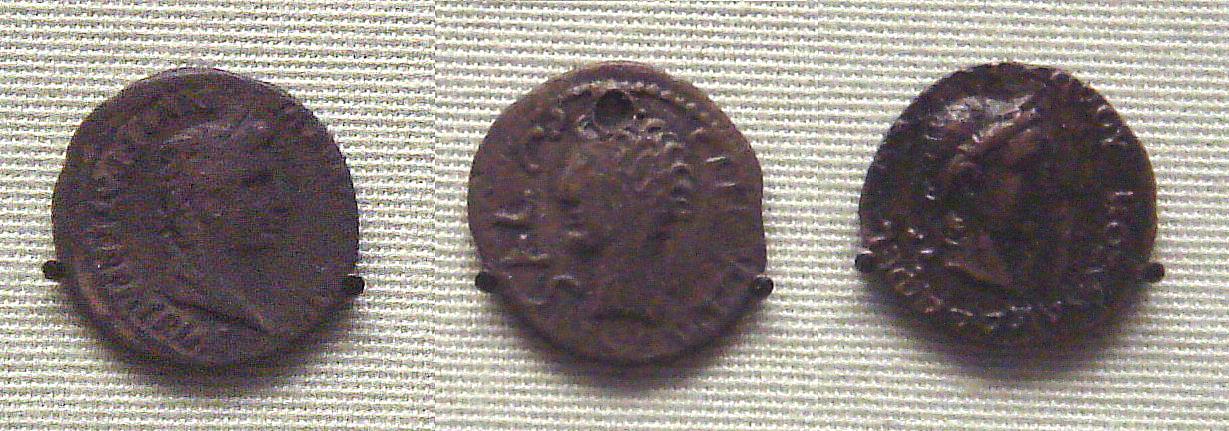
From Harappan beads in Mesopotamia to pepper at Muziris.
Sources & Further Reading
Sources & further reading
- excavation reportRao, S. R. (1979). Lothal: A Harappan Port Town (1955–62), Vol. I. Memoirs of the Archaeological Survey of India 78. Archaeological Survey of India.
- bookPossehl, G. L. (2002). The Indus Civilization: A Contemporary Perspective. AltaMira Press.