c. 500 BCE – 1500 CE(Approximate)attested waypoints
Uttarapatha (Northern Route)
The overland corridor linking Gandhara and the Punjab with the Ganga valley and the Bay of Bengal.
CommoditiesHorses · Textiles · Salt · Metals
Trade, economy & migration
Overland corridors, monsoon sailing routes and the ancestry flows reconstructed from ancient DNA. Waypoints are attested places; the lines between them are simplified, and migration arrows are models — not paths walked.
50-year steps
50CE
Commercial networks
The overland corridor linking Gandhara and the Punjab with the Ganga valley and the Bay of Bengal.
CommoditiesHorses · Textiles · Salt · Metals
Routes linking the Ganga valley via Ujjayini to the Deccan and the western ports.
CommoditiesCotton textiles · Precious stones · Grain
Ujjayini (Ujjain)Pratishthana (Paithan)AmaravatiSatavahana DynastyAvanti
Seasonal sailing between Egyptian Red Sea ports and western Indian and Malabar ports, described in the 1st-century Periplus of the Erythraean Sea.
CommoditiesPepper · Pearls · Ivory · Textiles · Roman coins · Wine · Glass
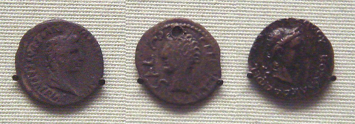
Barygaza (Bharuch)Muziris (Pattanam?)ArikameduPeak of Indo-Roman sea tradeRome on the Coromandel CoastRoman denarius found in India
The southern branch of the monsoon trade, reaching pepper ports such as Muziris directly across the Arabian Sea.
CommoditiesPepper · Malabathrum · Pearls
Sea contact between the Indus region, the Gulf (Dilmun, Magan) and Mesopotamia, documented by Indus seals and beads found abroad and by Mesopotamian references to Meluhha.
CommoditiesCarnelian beads · Timber · Copper · Ivory
Routes across the Hindu Kush connecting Gandhara with Bactria and the wider network later called the Silk Roads.
CommoditiesSilk · Horses · Lapis lazuli · Coins
Sher Shah Sur rebuilt the old northern road from Sonargaon in Bengal to the Indus in the 1540s, with rest-houses at regular stages; the Mughals carried it on to Kabul and lined it with distance markers, and the British remade it as the Grand Trunk Road. It follows much the same corridor as the ancient Uttarapatha.
Uttarapatha (Northern Route)Rohtas FortTomb of Sher Shah, SasaramLahore FortAgra Fort
The coasting voyage described by a Greek-speaking merchant of Egypt in the Periplus of the Erythraean Sea: from Barbarikon at the mouth of the Indus to Barygaza, the Konkan ports, Muziris and the pepper coast, round Cape Comorin to the Coromandel ports and on towards the Ganga. Several of the ports are not securely located on the ground; the line joins the usual identifications.
Commoditiespepper · pearls · cotton cloth · nard · ivory · Roman coin · wine
Schematic: the sea lane between the Coromandel coast and the Straits of Malacca, along which Rajendra I Chola sent a fleet that raided Kadaram (Kedah) and other ports of Srivijaya. His inscriptions list the places taken. The same lane carried Tamil merchant guilds to Sumatra and the Malay peninsula.
Schematic: Vasco da Gama crossed the Arabian Sea from Malindi to Calicut in 1498 with a pilot taken on in East Africa. Later fleets made for Cochin and, after its capture in 1510, for Goa, which became the seat of the Portuguese Estado da India.
Commoditiespepper · spices · textiles · silver
Estado da Índia (Portuguese enclaves)Diu FortBassein (Vasai) Fort
Schematic: lapis lazuli from the mines of Badakhshan reached the Indus cities and travelled on to Mesopotamia. The Harappan outpost at Shortughai on the Oxus, far north of the Indus plain, lies close to the source. The passes actually used are not known.
Commoditieslapis lazuli
Archaeogenetic models
Schematic arrow for the arrival of steppe pastoralist-related ancestry, observed in Swat valley genomes by the late 2nd millennium BCE.
Steppe pastoralist-related ancestryThe formation of human populations in South and Central Asia
Individuals with Indus Periphery-related ancestry found at Shahr-i Sokhta and Gonur indicate movement out of the Indus world in the 3rd millennium BCE.
Indus Periphery-related ancestryThe formation of human populations in South and Central Asia
Schematic: Narasimhan et al. model ASI as Indus Periphery-related ancestry mixing with AASI-related groups, likely after Indus deurbanisation.
ANI and ASIAASI-related ancestryIndus Periphery-related ancestryThe formation of human populations in South and Central Asia
Schematic: Austronesian seafaring from Island Southeast Asia across the Bay of Bengal and the Indian Ocean, reaching Madagascar by the 1st millennium CE.
Schematic arrow for the Southeast Asian-related ancestry found in Munda-speaking groups; timing and route are debated.
The Chinese monk Faxian came overland through Khotan and the mountains to Gandhara, visited the places of the Buddha's life in the Ganga plain, copied monastic texts at Pataliputra, and sailed from Tamralipti to Sri Lanka and home by sea. The line joins places his own record names; the legs between them are drawn straight.
Xuanzang entered through Samarkand, Balkh and Bamiyan, spent years in Kashmir and at Nalanda, and travelled down the east coast as far as Kanchipuram before returning north through the western Deccan and leaving by the Pamirs. His record is the fullest description of the subcontinent in the 7th century. The line follows his outward and southward journey through places he names; the return is not drawn.
The Moroccan traveller reached the Indus in 1333 and served for some years as a judge at the court of Muhammad bin Tughluq in Delhi. Sent as envoy to China in 1341 or 1342, he went by Daulatabad and Cambay to Calicut, lost his ships there, and spent time in the Maldives, Sri Lanka, Madurai and Bengal, where he visited Shah Jalal at Sylhet, before sailing on to Sumatra. The line is simplified: it leaves out his second stay in the Maldives, and sea legs are drawn straight.
Schematic: the centre of Vedic text production moves from the Punjab and the Kuru country in the earlier texts to Kosala and Videha in the later ones. A story in the Shatapatha Brahmana has Videgha Mathava carry the sacrificial fire east to the river Sadanira. This is a shift in where texts were composed and whose kings patronised them; how far people moved with it is debated.
Schematic: by the account of the Ahom chronicles, the Tai prince Sukaphaa left Mong Mao, crossed the Patkai hills with his followers, entered the upper Brahmaputra valley in 1228 and later fixed his seat at Charaideo. The founding group was small and merged over centuries with the people of the valley. The path through the hills is not known in detail.
Schematic: when Punjab was divided in August 1947, Hindus and Sikhs left the western districts for India and Muslims left the eastern districts for Pakistan, in both directions along the same roads and railways and amid mass killing. Millions crossed within a few months. The line marks the corridor, not a single direction.
Schematic: the division of Bengal moved Hindus from the east towards Calcutta and West Bengal and Muslims from the west and from Bihar towards East Pakistan. Unlike Punjab, the movement was not over in months but continued in waves for years. The line marks the corridor, not a single direction.